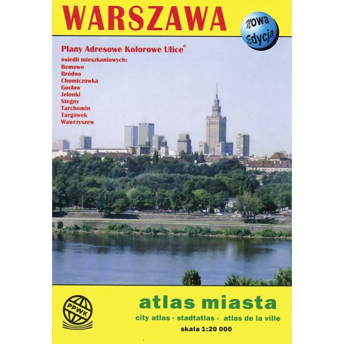
Atlas of Warszawa City
Quantity:
Warszawa city maps in spiral bound atlas book. Scale of 1:20 000. All names of city/village and index are in Polish. Legend is in Polish/English/German/French/Russian.
Atlas includes detailed areas of:
- Bemowo
- Brodno
- Chomiczowka
- Goclaw
- Jelonki
- Stegny
- Tarchomin
- Wawrzyszew
The map includes:
|
|
|