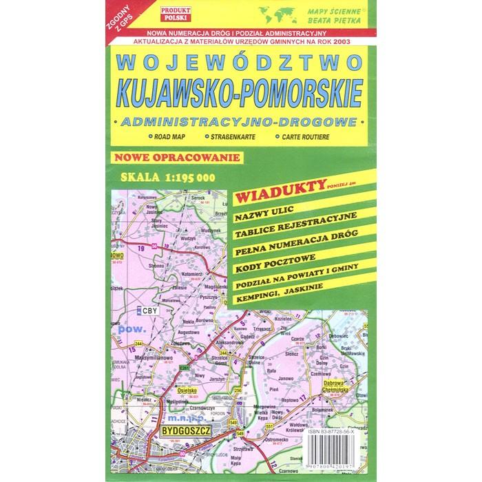
Kujawsko-Pomorskie Map
Quantity:
Click on the image below to view an administrative map sample

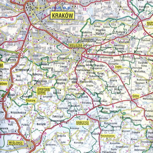
Wojewodztwo Kujawsko-Pomorskie (Kuyavia-Pomerania Province) road map with administrative region division. Each county (powiat) within the map is marked by an individual color. Scale of 1:175 000 provides accurate rendition of the voivodeship. All names of city/village, index, and legend are in Polish. Map unfolded measures 47"L x 37"W.
The map includes:
|
|
|