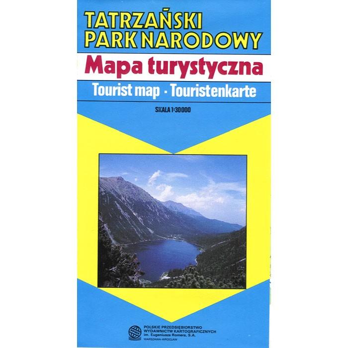
Map of Tatra National Park
Quantity:
Area map of Tatra National Park (Tatrzanski Park Narodowy) in Poland. Scale of 1:30 000. All names of city/village and index are in Polish. Legend is in Polish/English/German.
The map includes:
|
|
|